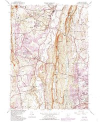
1957 Map of Avon
USGS Topo · Published 1988About this map
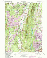
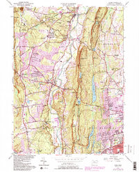
Talcott Mountain dominates the center of this Connecticut landscape, serving as a prominent north-south ridge that separates the suburban expansion of West Hartford and Bloomfield from the more pastoral valley of the Farmington River. The map reveals a mid-century suburban transition, with several established institutions like Avon Old Farms Sch, the Ethel Walker Sch, and La Sallette Novitiate occupying significant tracts of land. The transportation history of the region is etched into the terrain via the Canal Line railroad and an Old RR Grade cutting through the Stratton Brook State Park area. Water management is a key theme, as evidenced by the series of large reservoirs, including Hartford Reservoir No 6, which line the eastern slopes of the mountain ridge, providing a clear boundary to the residential growth of the adjacent towns.
Find a feature on this map
89 named features on this map. Tap any name to fly to it.
Don’t see what you’re looking for? This feature index may not catch every label — zoom into the map to look around manually.
Map Details
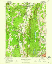
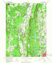
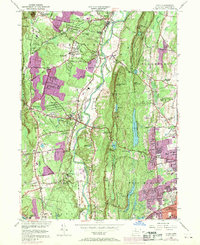
Editions of this 1957 Avon Map
6 editions found
Other maps of this area

1892 · Hartford
USGS Topo · 1:62,500

1892 · Meriden
USGS Topo · 1:62,500

1892 · Granby
USGS Topo · 1:62,500

1893 · Middletown
USGS Topo · 1:62,500

1893 · Meriden
USGS Topo · 1:62,500

1906 · Farmington
USGS Topo · 1:125,000

1928 · Windsor Locks
USGS Topo · 1:24,000

1928 · Windsor
USGS Topo · 1:24,000

1944 · Hartford South
USGS Topo · 1:31,680

1945 · Hartford North
USGS Topo · 1:31,680