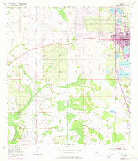
1953 Map of Avon Park
USGS Topo · Published 1973About this map
Avon Park serves as the hub of this Central Florida landscape, situated within a dense network of lakes and citrus-growing country. The map illustrates the town's mid-century expansion, showing residential growth near Lake Tulane and Lake Anoka, while the western areas transition into the drainage basins of Bee Branch and Little Charley Bowlegs Cr. This 1972 photorevision reveals the increasing complexity of the local infrastructure, from the Avon Park Airport to the industrial presence of a Sand Pit and several pumping stations.
Find a feature on this map
23 named features on this map. Tap any name to fly to it.
Don’t see what you’re looking for? This feature index may not catch every label — zoom into the map to look around manually.
Map Details
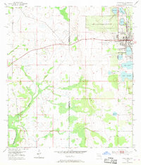
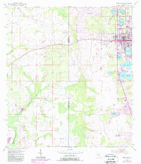
Editions of this 1953 Avon Park Map
4 editions found
Other maps of this area

1952 · Lake Arbuckle SW
USGS Topo · 1:24,000

1952 · Lake Arbuckle
USGS Topo · 1:24,000

1952 · Sebring
USGS Topo · 1:24,000

1953 · Frostproof
USGS Topo · 1:24,000

1953 · Avon Park
USGS Topo · 1:24,000

1953 · Crewsville
USGS Topo · 1:24,000

1956 · Bereah
USGS Topo · 1:24,000

1956 · Sweetwater
USGS Topo · 1:24,000

1956 · Griffins Corner
USGS Topo · 1:24,000

1956 · Fort Pierce
USGS Topo · 1:250,000