
1957 Map of Avondale SW
USGS Topo · Published 1958About this map
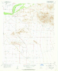
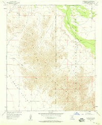
The Gila River flows through the northern reaches of this mid-century landscape, separating the agricultural Buckeye Valley from the arid expanse to the south. This transition from cultivated river bottoms to the jagged peaks of the Sierra Estrella reveals the era's desert development, where infrastructure like the Pipeline and several reservoirs began to manage the local water supply. Historic markers of early settlement appear in the far northwest, including the Liberty Cem near the junction of Tuthill Road and South Extension Road. Moving south, the terrain opens into the broad Rainbow Valley, a stretch defined by long drainage systems like Waterman Wash and the winding Jackrabbit Trail. The presence of multiple isolated landing strips across the valley floors points to the importance of light aircraft for surveying and managing these remote desert tracts in the late 1950s.
Find a feature on this map
18 named features on this map. Tap any name to fly to it.
Don’t see what you’re looking for? This feature index may not catch every label — zoom into the map to look around manually.
Map Details
Editions of this 1957 Avondale SW Map
5 editions found
Other maps of this area

1946 · Avondale
USGS Topo · 1:62,500

1948 · Cashion
USGS Topo · 1:62,500

1951 · Mobile
USGS Topo · 1:62,500

1951 · Cotton Center
USGS Topo · 1:62,500

1954 · Phoenix
USGS Topo · 1:250,000

1957 · Phoenix
USGS Topo · 1:250,000

1957 · Valencia
USGS Topo · 1:24,000

1957 · Perryville
USGS Topo · 1:24,000

1957 · Tolleson
USGS Topo · 1:24,000
1957 · Avondale SE
USGS Topo · 1:24,000