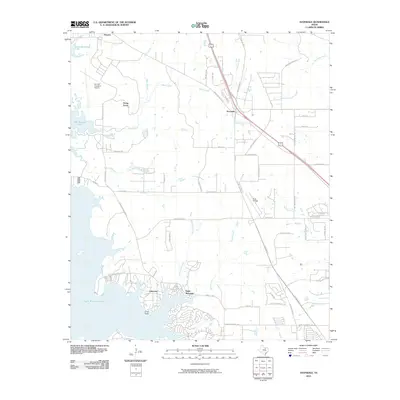
2010 Map of Avondale
USGS Topo · Published 2010About this map
Eagle Mountain Lake dominates the western edge of this 2010 landscape, its branching inlets and coves reaching toward growing residential clusters. The terrain transitions from the aquatic shoreline at Craft Point to the aviation hubs of Hicks Airfield and the Kenneth Copeland Airport. Significant transport corridors like Hwy 287 and N Saginaw Blvd cut through the region, facilitating the expansion of settlements such as Avondale and Lakeview. A dense network of local roads like Bonds Ranch Rd and Dido Hicks Rd reveals the suburban densification typical of this era in the North Texas corridor. Numerous waterways, including Indian Creek, Henrietta Creek, and Dosier Creek, meander through the remaining open spaces, illustrating the natural drainage patterns of the Tarrant County plains before further development.
Find a feature on this map
57 named features on this map. Tap any name to fly to it.
Don’t see what you’re looking for? This feature index may not catch every label — zoom into the map to look around manually.
Map Details
Editions of this 2010 Avondale Map
This is the sole edition of this map. No revisions or reprints were ever made.
Other maps of this area

1891 · Weatherford
USGS Topo · 1:125,000

1893 · Weatherford
USGS Topo · 1:125,000

1894 · Fort Worth
USGS Topo · 1:125,000

1924 · Sunset 4-d
USGS Topo · 1:48,000

1930 · Boyd
USGS Topo · 1:62,500

1932 · Springtown
USGS Topo · 1:62,500

1954 · Dallas
USGS Topo · 1:250,000

1954 · Sherman
USGS Topo · 1:250,000

1955 · Haltom City
USGS Topo · 1:24,000

1955 · Avondale
USGS Topo · 1:24,000