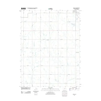
2012 Map of Axtell
USGS Topo · Published 2012About this map
The community of Axtell anchors the northeast corner of this Marshall County survey, its organized grid of streets including Oak St, Cone St, and Felix St surrounding a local Po. The surrounding landscape is defined by the section-line road network and a series of north-south waterways that drain the agricultural terrain. Snipe Cr and Ackerman Cr meander through the central and western reaches, while the N Fork Black Vermillion River cuts through the southeastern corner.
Find a feature on this map
31 named features on this map. Tap any name to fly to it.
Don’t see what you’re looking for? This feature index may not catch every label — zoom into the map to look around manually.
Map Details
Editions of this 2012 Axtell Map
This is the sole edition of this map. No revisions or reprints were ever made.
Other maps of this area

1889 · Seneca
USGS Topo · 1:125,000

1894 · Seneca
USGS Topo · 1:125,000

1955 · Manhattan
USGS Topo · 1:250,000

1956 · Manhattan
USGS Topo · 1:250,000

1957 · Manhattan
USGS Topo · 1:250,000
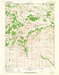
1966 · Seneca NW
USGS Topo · 1:24,000

1966 · Baileyville
USGS Topo · 1:24,000

1966 · Axtell
USGS Topo · 1:24,000
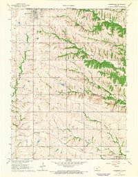
1966 · Summerfield
USGS Topo · 1:24,000
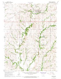
1966 · Beattie
USGS Topo · 1:24,000