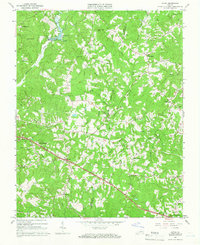
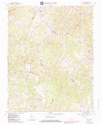
1965 Map of Axton
USGS Topo · Published 1966About this map
The Southern railroad corridor serves as the primary East-West axis through the rural landscape of Henry and Pittsylvania counties in the mid-1960s. The settlement of Axton sits at the heart of this network, surrounded by a dense distribution of family-named landmarks and rural institutions including Cranberry Memorial Ch, Elizabeth Temple Ch, and Greens Store. The terrain is defined by the headwaters of the Sandy River and Soapstone River, where numerous small cemeteries and landmarks like Burnt Chimneys indicate long-established local residency.
Find a feature on this map
48 named features on this map. Tap any name to fly to it.
Don’t see what you’re looking for? This feature index may not catch every label — zoom into the map to look around manually.
Map Details
Editions of this 1965 Axton Map
2 editions found
Historical Maps of Axton Through Time
14 maps found

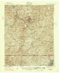
1924 Martinsville
Henry County, VA

1926 Martinsville
Henry County, VA
1927 Martinsville
Henry County, VA

1944 Martinsville
Henry County, VA
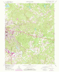
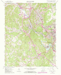
1964 Martinsville East
Henry County, VA
1965 Axton
Henry County, VA
1965 Martinsville West
Henry County, VA
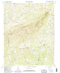
1965 Mountain Valley
Henry County, VA
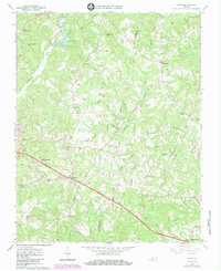
1967 Sanville
Henry County, VA
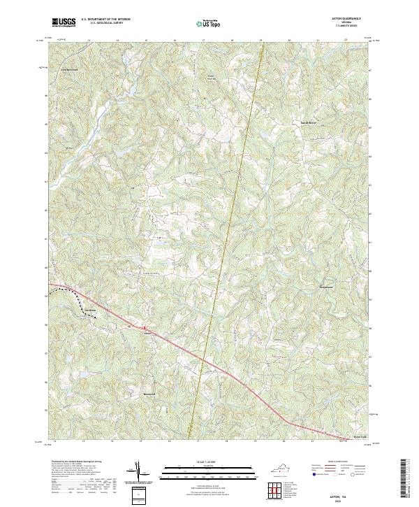
2022 Axton
Henry County, VA
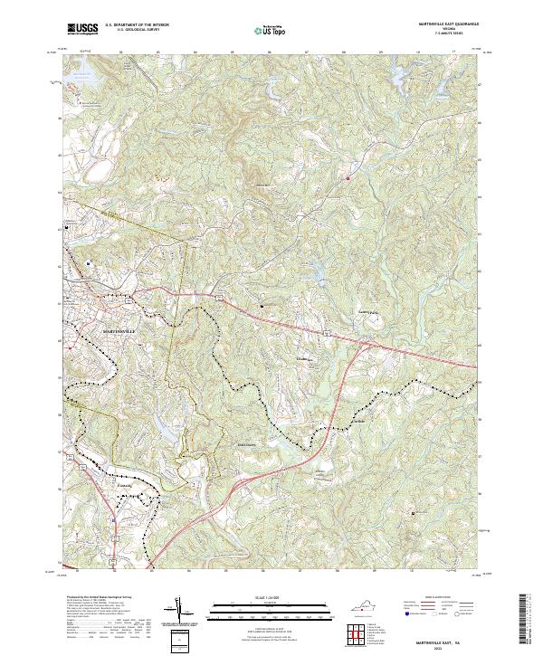
2022 Martinsville East
Henry County, VA
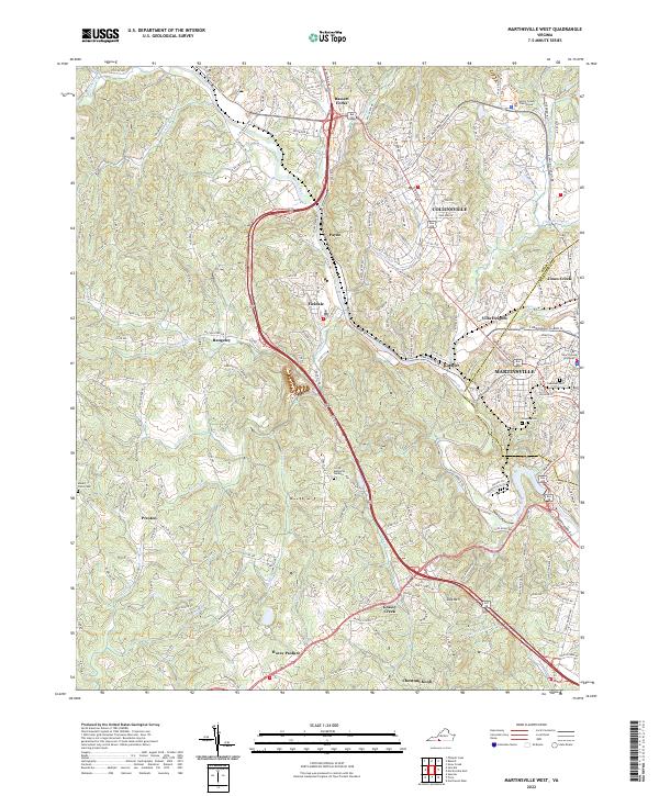
2022 Martinsville West
Henry County, VA
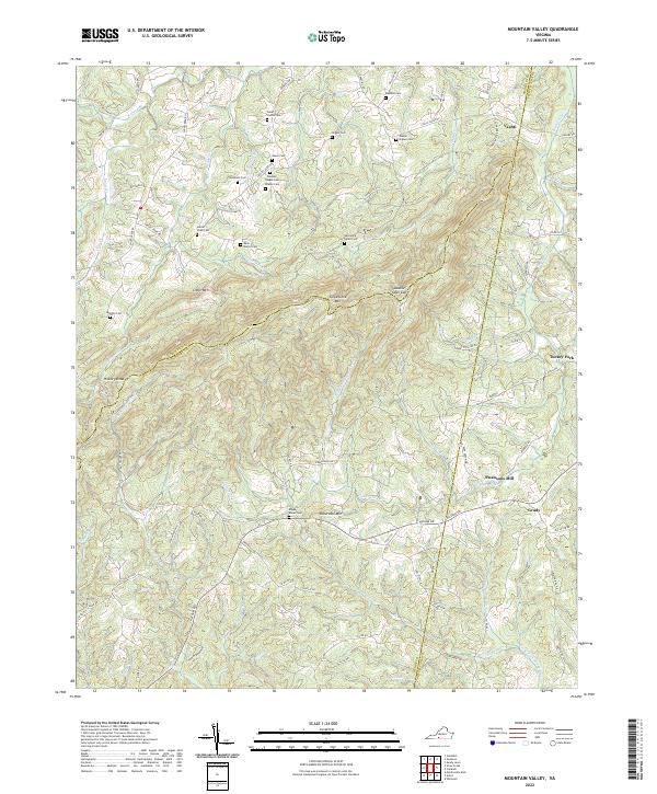
2022 Mountain Valley
Henry County, VA
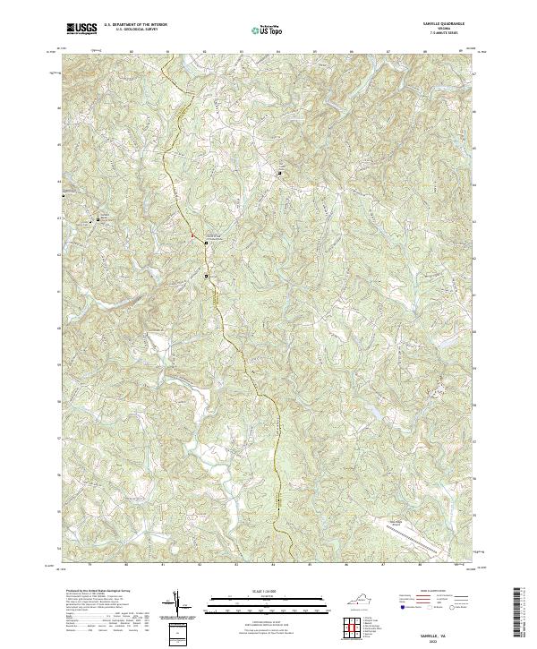
2022 Sanville
Henry County, VA