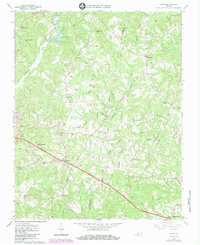
1965 Map of Axton
USGS Topo · Published 1984About this map
The Southern railway line serves as a central artery through this rural landscape on the border of Henry and Pittsylvania counties. The community of Axton sits prominently along the tracks, surrounded by a network of small settlements including Leatherwood and Burnt Chimneys. This mid-1960s perspective, later updated with woodland revisions, reveals a territory defined by its spiritual and social centers, from Anderson Chapel to Elizabeth Temple Ch.
Find a feature on this map
50 named features on this map. Tap any name to fly to it.
Don’t see what you’re looking for? This feature index may not catch every label — zoom into the map to look around manually.
Map Details
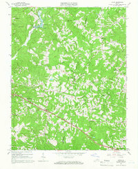
Editions of this 1965 Axton Map
2 editions found
Other maps of this area

1922 · Callands
USGS Topo · 1:48,000

1924 · Martinsville
USGS Topo · 1:48,000

1924 · Draper
USGS Topo · 1:48,000

1924 · Callands
USGS Topo · 1:62,500

1925 · Rocky Mount
USGS Topo · 1:48,000

1926 · Martinsville
USGS Topo · 1:62,500

1926 · Draper
USGS Topo · 1:62,500

1927 · Rocky Mount
USGS Topo · 1:62,500

1927 · Martinsville
USGS Topo · 1:62,500

1944 · Martinsville
USGS Topo · 1:62,500