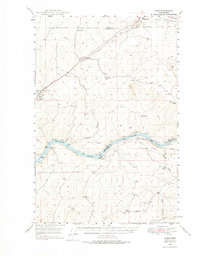
1948 Map of Ayer
USGS Topo · Published 1976About this map
The Snake River carves through the basalt landscape of eastern Washington in this 1948 survey, marking the boundary between Franklin and Walla Walla Counties. The topography is defined by the river’s deep trench and the winding Skookum Canyon, which cuts north toward the plateau. Along the river banks, the Union Pacific rail line connects small sidings and communities like Ayer, Magallon, and Ruxby. This area reflects the mid-century agricultural and transit-heavy economy of the Palouse region, where numerous family operations like the Hair Farm, Baker Farm, and Lasater Farm are identified.
Find a feature on this map
29 named features on this map. Tap any name to fly to it.
Don’t see what you’re looking for? This feature index may not catch every label — zoom into the map to look around manually.
Map Details
Editions of this 1948 Ayer Map
This is the sole edition of this map. No revisions or reprints were ever made.
Other maps of this area
1915 · Wallulah
USGS Topo · 1:96,000
1916 · Connell
USGS Topo · 1:125,000
1918 · Connell
USGS Topo · 1:125,000
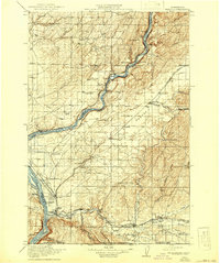
1918 · Wallula
USGS Topo · 1:125,000
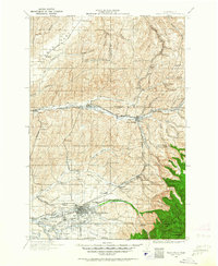
1919 · Walla Walla
USGS Topo · 1:125,000
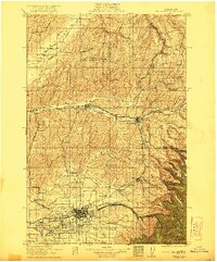
1921 · Walla Walla
USGS Topo · 1:125,000
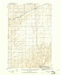
1923 · Washtucna
USGS Topo · 1:62,500
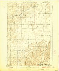
1925 · Washtucna
USGS Topo · 1:62,500
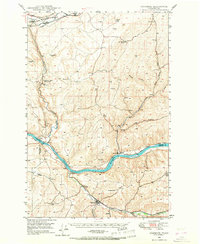
1948 · Starbuck
USGS Topo · 1:62,500
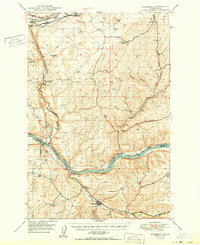
1950 · Starbuck
USGS Topo · 1:62,500