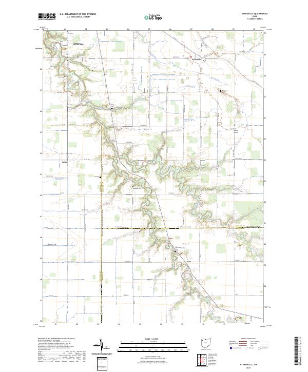
2023 Map of Ayersville
USGS Topo · Published 2023About this map
Powell Creek and its various tributaries, including North Powell Creek and Wagner Run, carve a network of drainage across this agricultural landscape at the intersection of Defiance, Paulding, and Putnam counties. The area is defined by its small, long-standing settlements like Ayersville in the northeast and Arthur to the west. Rural life is anchored by a series of family and community burial grounds, such as Hill Cem and Mansfield Cem, which offer significant value for genealogical research in this part of Northwest Ohio. The presence of Blevins Airport near Co Hwy 5 provides a modern navigational landmark amidst the traditional township and range grid. This survey provides a contemporary view of the region's infrastructure, from the Def Putnam Co Line Rd to the quiet crossroads at Rice, documenting the persistent spatial patterns of these rural communities.
Find a feature on this map
49 named features on this map. Tap any name to fly to it.
Don’t see what you’re looking for? This feature index may not catch every label — zoom into the map to look around manually.
Map Details
Editions of this 2023 Ayersville Map
This is the sole edition of this map. No revisions or reprints were ever made.
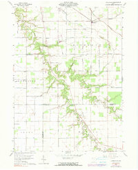
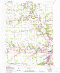
Historical Maps of Paulding County Through Time
10 maps found
1959 Defiance East
Defiance County, OH
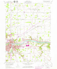
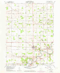
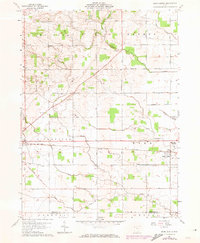
1960 Ayersville
Defiance County, OH
1960 Defiance West
Defiance County, OH
1960 Sherwood
Defiance County, OH
1961 Mark Center
Defiance County, OH
2023 Ayersville
Defiance County, OH
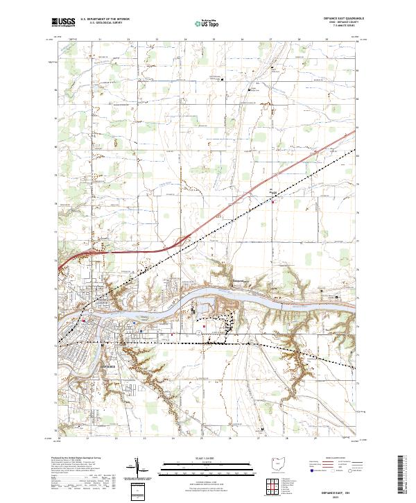
2023 Defiance East
Defiance County, OH
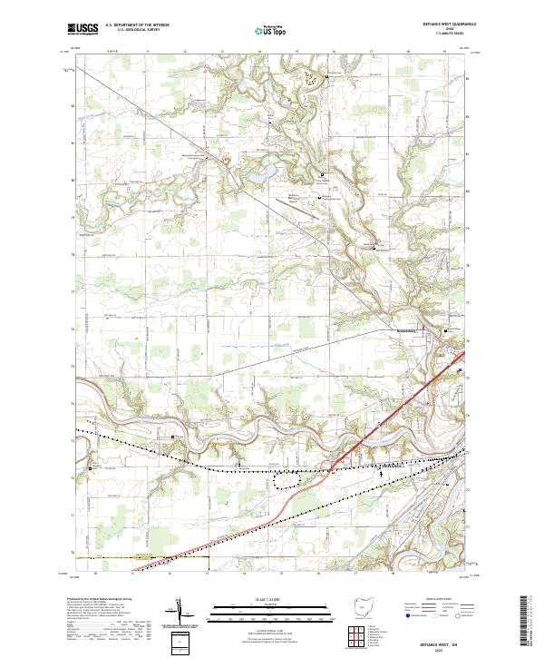
2023 Defiance West
Defiance County, OH
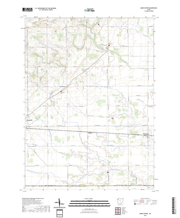
2023 Mark Center
Defiance County, OH
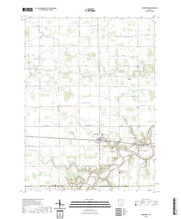
2023 Sherwood
Defiance County, OH