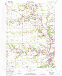
1960 Map of Defiance West
USGS Topo · Published 1990About this map
The confluence of the Maumee River and the Tiffin River anchors this landscape in northwest Ohio, where the city of Defiance and the village of Brunersburg sit at a vital historic waterway junction. The map illustrates a transitional period as the town expanded, shown through purple revision tints and the presence of the Defiance Memorial Airport. Genealogists will find a wealth of specific local landmarks, from the sprawling Riverside Cemetery near the riverbanks to smaller rural burial sites like Stephens Cem and Kibble Cem. Rural life is marked by several country congregations, including Marysdale Ch and Olive Branch Ch. Of significant historical interest is the path of the Miami and Erie Canal (Abandoned), which traces the southern landscape alongside the Norfolk and Western railroad, documenting the evolution of Ohio's transportation corridor from water to rail.
Find a feature on this map
48 named features on this map. Tap any name to fly to it.
Don’t see what you’re looking for? This feature index may not catch every label — zoom into the map to look around manually.
Map Details
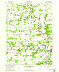
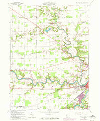
Editions of this 1960 Defiance West Map
3 editions found
Other maps of this area

1907 · Defiance
USGS Topo · 1:62,500

1909 · Defiance
USGS Topo · 1:62,500

1909 · Continental
USGS Topo · 1:62,500

1914 · Bryan
USGS Topo · 1:62,500

1914 · Paulding
USGS Topo · 1:62,500

1943 · Bryan
USGS Topo · 1:62,500

1944 · Paulding
USGS Topo · 1:62,500

1953 · Fort Wayne
USGS Topo · 1:250,000

1956 · Fort Wayne
USGS Topo · 1:250,000

1959 · Defiance East
USGS Topo · 1:24,000