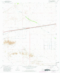
1965 Map of Aztec Hills
USGS Topo · Published 1982About this map
The Southern Pacific railroad corridor serves as the primary artery through this desert landscape, where the settlement of Aztec stands alongside the tracks. North of the rail line, the terrain transitions into the broad Park Valley, marked by drainage features like Tenmile Canyon and the Diablo Wash. To the south, the topography rises sharply into the Aztec Hills, featuring prominent landmarks such as White Mtn and Half White Mtn.
Find a feature on this map
25 named features on this map. Tap any name to fly to it.
Don’t see what you’re looking for? This feature index may not catch every label — zoom into the map to look around manually.
Map Details
Editions of this 1965 Aztec Hills Map
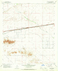
2 editions found
Other maps of this area

1927 · Aguila Mountains
USGS Topo · 1:48,000

1927 · Kim
USGS Topo · 1:62,500

1929 · Aztec
USGS Topo · 1:62,500

1930 · Aguila Mountains
USGS Topo · 1:62,500

1930 · Stoval
USGS Topo · 1:62,500

1931 · Kim
USGS Topo · 1:62,500

1950 · Stoval
USGS Topo · 1:62,500

1950 · Aztec
USGS Topo · 1:62,500

1953 · Ajo
USGS Topo · 1:250,000

1957 · Ajo
USGS Topo · 1:250,000