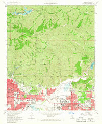
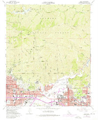
1966 Map of Azusa
USGS Topo · Published 1968About this map
The San Gabriel River cuts through the steep terrain of the Angeles National Forest before spilling into the industrializing San Gabriel Valley. During the mid-1960s, the foothills from Monrovia to Glendora transitioned from agricultural fringes to dense suburban corridors. The map highlights the critical role of water management in this landscape, showing the massive Santa Fe Flood Control Basin and the Santa Fe Dam Spillway protecting the valley below.
Find a feature on this map
103 named features on this map. Tap any name to fly to it.
Don’t see what you’re looking for? This feature index may not catch every label — zoom into the map to look around manually.
Map Details
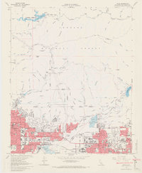
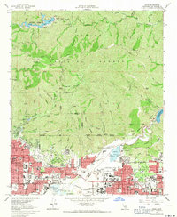
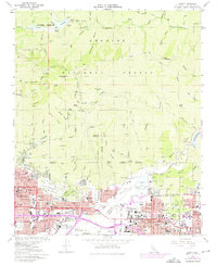
Editions of this 1966 Azusa Map
5 editions found
Other maps of this area

1894 · Los Angeles
USGS Topo · 1:62,500

1894 · Pomona
USGS Topo · 1:62,500

1896 · Pasadena
USGS Topo · 1:62,500

1897 · Pomona
USGS Topo · 1:62,500

1898 · Pomona
USGS Topo · 1:62,500

1900 · Pasadena
USGS Topo · 1:62,500

1900 · Tujunga
USGS Topo · 1:62,500

1900 · Los Angeles
USGS Topo · 1:62,500

1901 · Southern California Sheet No. 1
USGS Topo · 1:250,000

1903 · Rock Creek
USGS Topo · 1:62,500