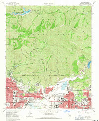
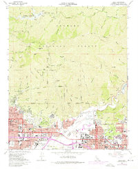
1966 Map of Azusa
USGS Topo · Published 1971About this map
Angelles National Forest dominates the northern landscape of this San Gabriel Valley survey, where the steep canyons of Monrovia Canyon and Fish Canyon descend toward a corridor of mid-century suburban expansion. The era's infrastructure is clearly defined by the Santa Fe Flood Control Basin and the spreading grounds along the San Gabriel River, essential for managing water in this alluvial landscape. The valley floor is densely packed with local institutions, from the City of Hope National Medical Center in Duarte to the expanding campuses of Citrus College and Azusa Pacific College. The industrial and recreational character of the late 1960s is evident in the numerous Gravel Pits in Irwindale and the presence of the Irwindale Raceway. This map captures the transition where the wild peaks of Monrovia Peak meet the organized grids of Azusa and Glendora during a peak period of Southern California development.
Find a feature on this map
99 named features on this map. Tap any name to fly to it.
Don’t see what you’re looking for? This feature index may not catch every label — zoom into the map to look around manually.
Map Details
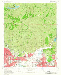
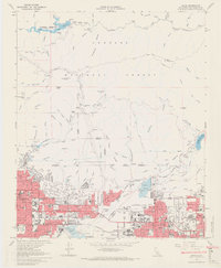
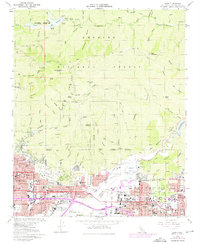
Editions of this 1966 Azusa Map
5 editions found
Other maps of this area

1894 · Los Angeles
USGS Topo · 1:62,500

1894 · Pomona
USGS Topo · 1:62,500

1896 · Pasadena
USGS Topo · 1:62,500

1897 · Pomona
USGS Topo · 1:62,500

1898 · Pomona
USGS Topo · 1:62,500

1900 · Pasadena
USGS Topo · 1:62,500

1900 · Tujunga
USGS Topo · 1:62,500

1900 · Los Angeles
USGS Topo · 1:62,500

1901 · Southern California Sheet No. 1
USGS Topo · 1:250,000

1903 · Rock Creek
USGS Topo · 1:62,500