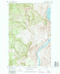
1968 Map of Azwell
USGS Topo · Published 1987About this map
The Columbia River corridor dominates this landscape at the confluence of the Okanogan and Wenatchee National Forest boundaries. By the late 1960s, the river here had been transformed into a series of reservoirs, with Lake Pateros to the north and Lake Entiat to the south. The small settlement of Azwell sits perched along the riverbank, served by the Burlington Northern railroad.
Find a feature on this map
45 named features on this map. Tap any name to fly to it.
Don’t see what you’re looking for? This feature index may not catch every label — zoom into the map to look around manually.
Map Details
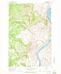
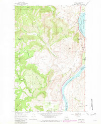
Editions of this 1968 Azwell Map
3 editions found
Other maps of this area

1899 · Methow
USGS Topo · 1:125,000

1901 · Chelan
USGS Topo · 1:125,000

1901 · Methow
USGS Topo · 1:125,000

1905 · Okanogan
USGS Topo · 1:125,000

1953 · Ritzville
USGS Topo · 1:250,000

1954 · Okanogan
USGS Topo · 1:250,000

1955 · Concrete
USGS Topo · 1:250,000

1957 · Brewster
USGS Topo · 1:62,500

1957 · Wenatchee
USGS Topo · 1:250,000

1958 · Concrete
USGS Topo · 1:250,000