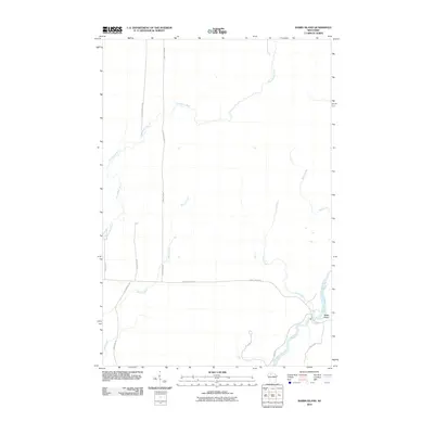
2010 Map of Babbs Island
USGS Topo · Published 2010About this map
The Flambeau River winds through the southeastern corner of this northern Wisconsin landscape, where it surrounds the namesake Babbs Island. This terrain is defined by a dense network of waterways, including the meandering Thornapple River in the northwest and several significant tributaries such as Beaver Creek, Long Creek, and Bear Creek. The rural character of the area is further evidenced by a grid of local roads and county highways that navigate the wetland and river systems.
Find a feature on this map
17 named features on this map. Tap any name to fly to it.
Don’t see what you’re looking for? This feature index may not catch every label — zoom into the map to look around manually.
Map Details
Editions of this 2010 Babbs Island Map
This is the sole edition of this map. No revisions or reprints were ever made.
Other maps of this area

1941 · Kennan
USGS Topo · 1:48,000

1941 · Kennedy
USGS Topo · 1:48,000

1944 · Draper
USGS Topo · 1:48,000

1945 · Kennedy
USGS Topo · 1:48,000

1945 · Kennan
USGS Topo · 1:48,000

1945 · Ingram
USGS Topo · 1:48,000

1947 · Ingram
USGS Topo · 1:48,000

1947 · Draper
USGS Topo · 1:48,000

1953 · Rice Lake
USGS Topo · 1:250,000

1959 · Rice Lake
USGS Topo · 1:250,000