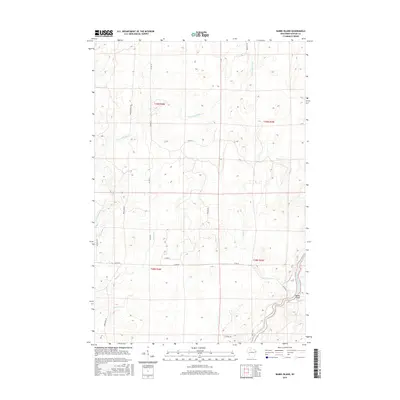
2015 Map of Babbs Island
USGS Topo · Published 2015About this map
The Flambeau River winds through the southeastern corner of this Wisconsin-Sawyer County borderland, where it surrounds the small landform of Babbs Island. This 2015 survey reveals a landscape heavily defined by its drainage network, with the Thornapple River meandering across the northern and western sections of the quadrangle. The interior is largely roadless and dominated by topographical contours that suggest a dense, wooded wilderness, punctuated by smaller tributaries like Bear Cr, Beaver Cr, and Boss Cr. Transportation is limited to peripheral routes such as Co Hwy M and Bear Lake Rd, alongside various unnamed logging paths. The area remains largely undeveloped, preserving the character of the Northwoods before reaching more established settlements. This map serves as a detailed record of the region's hydrography and forestry-related infrastructure in the early twenty-first century.
Find a feature on this map
22 named features on this map. Tap any name to fly to it.
Don’t see what you’re looking for? This feature index may not catch every label — zoom into the map to look around manually.
Map Details
Editions of this 2015 Babbs Island Map
This is the sole edition of this map. No revisions or reprints were ever made.
Other maps of this area

1941 · Kennan
USGS Topo · 1:48,000

1941 · Kennedy
USGS Topo · 1:48,000

1944 · Draper
USGS Topo · 1:48,000

1945 · Kennedy
USGS Topo · 1:48,000

1945 · Kennan
USGS Topo · 1:48,000

1945 · Ingram
USGS Topo · 1:48,000

1947 · Ingram
USGS Topo · 1:48,000

1947 · Draper
USGS Topo · 1:48,000

1953 · Rice Lake
USGS Topo · 1:250,000

1959 · Rice Lake
USGS Topo · 1:250,000