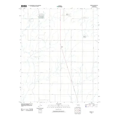
2010 Map of Babbs
USGS Topo · Published 2010About this map
Babbs serves as the central point of this southwestern Oklahoma landscape, positioned within a grid of county roads and drainage patterns typical of Kiowa County. The area is defined by the winding course of Elk Creek to the west and the upper reaches of West Otter Creek in the southeast. While largely an agricultural landscape, the presence of the Hobart Municipal Airport in the north-central portion of the quadrangle marks a significant transition to modern transportation infrastructure. Water management is evidenced by features like the Oknoname 075011 Dam, which interrupts the natural stream flow. The map illustrates a highly organized township-and-range system, with roads such as n2200 RD and e1440 RD providing the primary structure for the rural community and farmstead connectivity during the early 21st century.
Find a feature on this map
19 named features on this map. Tap any name to fly to it.
Don’t see what you’re looking for? This feature index may not catch every label — zoom into the map to look around manually.
Map Details
Editions of this 2010 Babbs Map
This is the sole edition of this map. No revisions or reprints were ever made.
Other maps of this area

1949 · Cooperton
USGS Topo · 1:62,500

1955 · Lawton
USGS Topo · 1:250,000

1955 · Clinton
USGS Topo · 1:250,000

1956 · Glen Mountains
USGS Topo · 1:24,000

1956 · Rainy Mountain Creek
USGS Topo · 1:24,000

1956 · Cooperton
USGS Topo · 1:62,500

1957 · Clinton
USGS Topo · 1:250,000

1961 · Gotebo
USGS Topo · 1:62,500

1961 · Hobart
USGS Topo · 1:62,500

1963 · Babbs
USGS Topo · 1:24,000