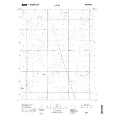
2018 Map of Babbs
USGS Topo · Published 2018About this map
Babbs serves as the central point of this Kiowa County landscape, situated along the corridor of Highway 183. The terrain is defined by the winding course of Elk Cr to the west and the upper reaches of W Otter Cr to the east. This modern survey illustrates the rural township and range structure that has long governed the Oklahoma prairie, showing how modern infrastructure like the Hobart Regional Airport integrates into the historical section lines. The presence of Camelback Mtn in the southwest corner provides a rare elevation point amidst the agricultural plains. The network of county roads, including e1430 RD and n2200 RD, maintains the strict grid pattern established during the initial settlement of the region, connecting remote homesteads and farmsteads to the central highway artery.
Find a feature on this map
25 named features on this map. Tap any name to fly to it.
Don’t see what you’re looking for? This feature index may not catch every label — zoom into the map to look around manually.
Map Details
Editions of this 2018 Babbs Map
This is the sole edition of this map. No revisions or reprints were ever made.
Other maps of this area

1949 · Cooperton
USGS Topo · 1:62,500

1955 · Lawton
USGS Topo · 1:250,000

1955 · Clinton
USGS Topo · 1:250,000

1956 · Glen Mountains
USGS Topo · 1:24,000

1956 · Rainy Mountain Creek
USGS Topo · 1:24,000

1956 · Cooperton
USGS Topo · 1:62,500

1957 · Clinton
USGS Topo · 1:250,000

1961 · Gotebo
USGS Topo · 1:62,500

1961 · Hobart
USGS Topo · 1:62,500

1963 · Babbs
USGS Topo · 1:24,000