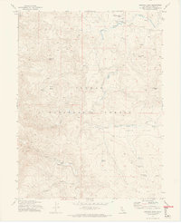
1972 Map of Babcock Peak
USGS Topo · Published 1974About this map
Babcock Peak dominates this high-altitude landscape within the Plumas National Forest, where the complex drainage systems of Last Chance Creek and Red Clover Creek intersect. This 1972 field-checked survey documents a transition in wilderness utility, where an Old Railroad Grade and numerous Jeep Trails wind through the valleys once used for timber or transit. Evidence of early mountain travel and habitation is visible in features like the Murdock Crossing (Ford) and Watson Bridge. For genealogists and local historians, the presence of a single Grave near Murdock Crossing Spring provides a poignant point of interest. The area is defined by its numerous water sources, including Cinder Spring and Big Pine Spring, supporting seasonal grazing at Babcock Meadows and within the wide expanse of Squaw Valley.
Find a feature on this map
28 named features on this map. Tap any name to fly to it.
Don’t see what you’re looking for? This feature index may not catch every label — zoom into the map to look around manually.
Map Details
Editions of this 1972 Babcock Peak Map
3 editions found
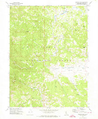
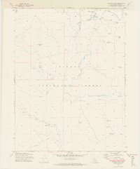
Other maps of this area

1886 · Honey Lake
USGS Topo · 1:250,000

1890 · Sierraville
USGS Topo · 1:125,000

1891 · Downieville
USGS Topo · 1:125,000

1891 · Honey Lake
USGS Topo · 1:250,000

1892 · Sierraville
USGS Topo · 1:125,000

1893 · Honey Lake
USGS Topo · 1:250,000

1893 · Downieville
USGS Topo · 1:125,000

1894 · Sierraville
USGS Topo · 1:125,000

1895 · Downieville
USGS Topo · 1:125,000

1896 · Downieville
USGS Topo · 1:125,000