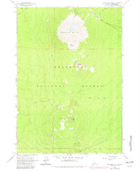
1963 Map of Bachelor Butte
USGS Topo · Published 1982About this map
Bachelor Butte dominates the northern landscape of this survey, standing as a prominent volcanic landmark within the Deschutes National Forest. In the early 1960s, the surrounding terrain featured a network of mountain summits including Sheridan Mountain, Tumalo Mountain, and Kwolh Butte, interspersed with small snowfields and glacial features. The map captures the transportation and recreational infrastructure of the era, notably the Cascade Lakes Highway and the specialized Edison Ice Cave Trail. Evidence of local extraction and land use is visible at the Cinder Pit near the southern boundary. Along the western edge, Sparks Lake provides a transition from the volcanic peaks to the more level forest drainage basins, while Dutchman Creek winds through the eastern slopes, illustrating the high-elevation hydrology of this volcanic range.
Find a feature on this map
12 named features on this map. Tap any name to fly to it.
Don’t see what you’re looking for? This feature index may not catch every label — zoom into the map to look around manually.
Map Details
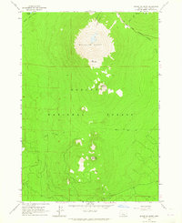
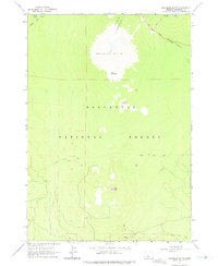
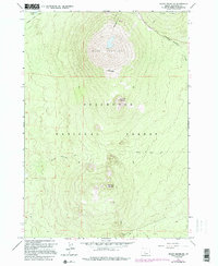
Editions of this 1963 Bachelor Butte Map
4 editions found
Other maps of this area

1929 · Three Sisters
USGS Topo · 1:125,000

1930 · Maiden Peak
USGS Topo · 1:125,000

1932 · Three Sisters
USGS Topo · 1:125,000

1934 · Maiden Peak
USGS Topo · 1:125,000

1955 · Crescent
USGS Topo · 1:250,000

1955 · Bend
USGS Topo · 1:250,000

1957 · Crescent
USGS Topo · 1:250,000

1957 · Bend
USGS Topo · 1:250,000

1958 · Crescent
USGS Topo · 1:250,000

1958 · Bend
USGS Topo · 1:250,000