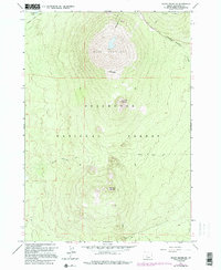
1963 Map of Mount Bachelor
USGS Topo · Published 1995About this map
Mount Bachelor dominates this mid-century survey of the high cascades within the Deschutes National Forest. The landscape is defined by its volcanic geology, featuring prominent peaks such as Tot Mountain, Kwolh Butte, and Tumalo Mountain. Water drainage is represented by Sparks Lake in the northwest and the winding course of Dutchman Creek to the east. Human passage through this high-elevation terrain is marked by the Cascade Lakes Highway and a network of specialized routes, including the Edison Ice Cave Trail. Evidence of local resource extraction appears at the Cinder Pit near the southern boundary. This edition incorporates 1960s field data with photorevisions from 1981, showing the early infrastructure of this recreation and wilderness area before modern development intensified.
Find a feature on this map
13 named features on this map. Tap any name to fly to it.
Don’t see what you’re looking for? This feature index may not catch every label — zoom into the map to look around manually.
Map Details
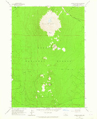
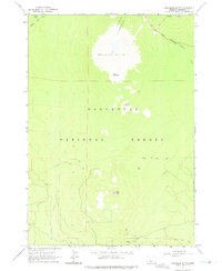
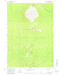
Editions of this 1963 Mount Bachelor Map
4 editions found
Other maps of this area

1929 · Three Sisters
USGS Topo · 1:125,000

1930 · Maiden Peak
USGS Topo · 1:125,000

1932 · Three Sisters
USGS Topo · 1:125,000

1934 · Maiden Peak
USGS Topo · 1:125,000

1955 · Crescent
USGS Topo · 1:250,000

1955 · Bend
USGS Topo · 1:250,000

1957 · Crescent
USGS Topo · 1:250,000

1957 · Bend
USGS Topo · 1:250,000

1958 · Crescent
USGS Topo · 1:250,000

1958 · Bend
USGS Topo · 1:250,000