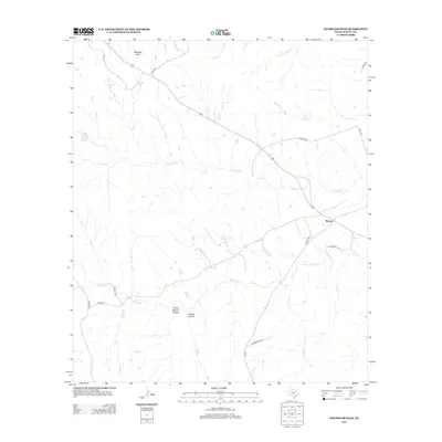
2012 Map of Bachelor Peak
USGS Topo · Published 2012About this map
Watson serves as the primary focal point of this Central Texas landscape, where the road network converges in the eastern portion of the quadrangle. The terrain is defined by a series of drainage systems, most notably the winding paths of N Rocky Cr and S Rocky Cr, which carve through the limestone-rich topography of Burnet County. To the north, the prominent elevation of Bachelor Peak stands as a distinct landmark, overlooking a network of hollows and seasonal branches. The map captures an area deeply tied to its physical geography, evidenced by the naming of Stone Quarry Hollow and Postoak Hollow, suggesting a history of local resource extraction and native vegetation. Rural transit is facilitated by a grid of county roads and the more substantial Olive Branch Rd, connecting isolated homesteads and ranching tracts across the varied Texas terrain.
Find a feature on this map
22 named features on this map. Tap any name to fly to it.
Don’t see what you’re looking for? This feature index may not catch every label — zoom into the map to look around manually.
Map Details
Editions of this 2012 Bachelor Peak Map
This is the sole edition of this map. No revisions or reprints were ever made.
Other maps of this area

1887 · Lampasas
USGS Topo · 1:125,000

1887 · Burnet
USGS Topo · 1:125,000

1893 · Georgetown
USGS Topo · 1:125,000

1893 · Burnet
USGS Topo · 1:125,000

1894 · Lampasas
USGS Topo · 1:125,000

1894 · Gatesville
USGS Topo · 1:125,000

1903 · Burnet
USGS Topo · 1:125,000

1909 · Burnet
USGS Topo · 1:125,000

1947 · Fort Hood
USGS Topo · 1:62,500

1947 · Copperas Cove
USGS Topo · 1:24,000