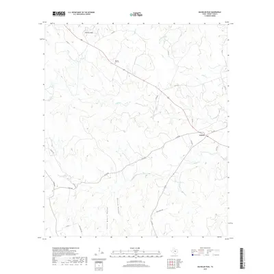
2019 Map of Bachelor Peak
USGS Topo · Published 2019About this map
Bachelor Peak rises above the limestone-carved terrain of eastern Burnet County, anchoring a landscape defined by seasonal creek beds and upland plateaus. The small settlement of Watson serves as a local crossroads at the intersection of F-M 963 and Old 183, reflecting the region's transition from historic ranching routes to modern highway travel. This 2019 survey documents the enduring physical landmarks of the area, including the Bachelor Peak Cem and Watson Cem, which provide essential points of reference for genealogists and local historians studying the rural communities north of the Colorado River basin.
Find a feature on this map
28 named features on this map. Tap any name to fly to it.
Don’t see what you’re looking for? This feature index may not catch every label — zoom into the map to look around manually.
Map Details
Editions of this 2019 Bachelor Peak Map
This is the sole edition of this map. No revisions or reprints were ever made.
Other maps of this area

1887 · Lampasas
USGS Topo · 1:125,000

1887 · Burnet
USGS Topo · 1:125,000

1893 · Georgetown
USGS Topo · 1:125,000

1893 · Burnet
USGS Topo · 1:125,000

1894 · Lampasas
USGS Topo · 1:125,000

1894 · Gatesville
USGS Topo · 1:125,000

1903 · Burnet
USGS Topo · 1:125,000

1909 · Burnet
USGS Topo · 1:125,000

1947 · Fort Hood
USGS Topo · 1:62,500

1947 · Copperas Cove
USGS Topo · 1:24,000