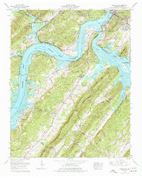
1968 Map of Bacon Gap
USGS Topo · Published 1977About this map
Kingston sits at the strategic confluence of the Clinch River and the Tennessee River, marking a landscape reshaped by the waters of Watts Bar Lake. This late-1960s survey illustrates a region balancing its ancient history with mid-century development, where ancient Indian mounds near the shoreline remain alongside modern infrastructure like the Meadowlake Airpark and the filtration plant. The terrain is dominated by the northeast-southwest orientation of Bacon Ridge and Wilker Ridge, which channeled early transit through natural breaks like Bacon Gap and Ponders Gap.
Find a feature on this map
75 named features on this map. Tap any name to fly to it.
Don’t see what you’re looking for? This feature index may not catch every label — zoom into the map to look around manually.
Map Details
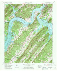
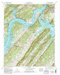
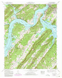
Editions of this 1968 Bacon Gap Map
4 editions found
Other maps of this area

1887 · Kingston
USGS Topo · 1:125,000

1891 · Kingston
USGS Topo · 1:125,000

1893 · Kingston
USGS Topo · 1:125,000

1895 · Loudon
USGS Topo · 1:125,000

1935 · Rockwood
USGS Topo · 1:24,000

1935 · Elverton
USGS Topo · 1:24,000

1935 · Harriman
USGS Topo · 1:24,000

1935 · Philadelphia
USGS Topo · 1:24,000

1936 · Cave Creek
USGS Topo · 1:24,000

1936 · Cardiff
USGS Topo · 1:24,000