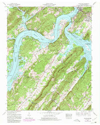
1968 Map of Bacon Gap
USGS Topo · Published 1981About this map
The confluence of the Clinch River and the Tennessee River dominates this landscape, where the waters of Watts Bar Lake wrap around prominent ridges and historical sites. At the northern edge, Kingston serves as a focal point for the region's infrastructure, featuring a water treatment plant and filtration plant near the riverbanks. The map documents ancient cultural history at the Indian mounds near Southwest Point, while also highlighting modern developments like Roane County Park and Meadow Lake Airport. South of the rivers, the rugged terrain is defined by Bacon Ridge and Smalley Ridge, where small communities like Fairview and Midway are connected by winding routes such as Dogtown Road. Genealogists will find numerous family burial grounds throughout the countryside, including the Bacon Cem, Durham Cem, and the Slave cem located near the river bend.
Find a feature on this map
81 named features on this map. Tap any name to fly to it.
Don’t see what you’re looking for? This feature index may not catch every label — zoom into the map to look around manually.
Map Details
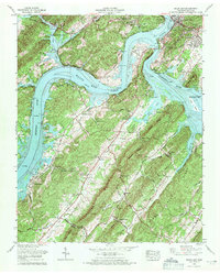
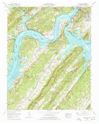
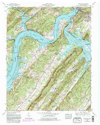
Editions of this 1968 Bacon Gap Map
4 editions found
Other maps of this area

1887 · Kingston
USGS Topo · 1:125,000

1891 · Kingston
USGS Topo · 1:125,000

1893 · Kingston
USGS Topo · 1:125,000

1895 · Loudon
USGS Topo · 1:125,000

1935 · Rockwood
USGS Topo · 1:24,000

1935 · Elverton
USGS Topo · 1:24,000

1935 · Harriman
USGS Topo · 1:24,000

1935 · Philadelphia
USGS Topo · 1:24,000

1936 · Cave Creek
USGS Topo · 1:24,000

1936 · Cardiff
USGS Topo · 1:24,000