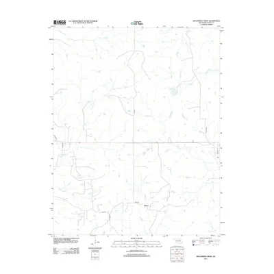
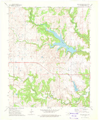
2012 Map of Baconrind Creek
USGS Topo · Published 2012About this map
Strohm lies in the southern reach of this Osage County landscape, centered at the intersection of e0255 RD and n3610 RD. The terrain is defined by a dense network of intermittent and perennial watercourses that drain the surrounding prairie. Significant among these is Baconrind Cr, which meanders through the eastern half of the quadrangle, while Little Chief Cr and Wild Horse Cr carve paths through the western sections.
Find a feature on this map
18 named features on this map. Tap any name to fly to it.
Don’t see what you’re looking for? This feature index may not catch every label — zoom into the map to look around manually.
Map Details
Editions of this 2012 Baconrind Creek Map
This is the sole edition of this map. No revisions or reprints were ever made.
Other maps of this area

1909 · Pawhuska
USGS Topo · 1:125,000

1910 · Pawhuska
USGS Topo · 1:125,000

1916 · Foraker
USGS Topo · 1:62,500

1932 · Fairfax
USGS Topo · 1:62,500

1955 · Enid
USGS Topo · 1:250,000

1958 · Enid
USGS Topo · 1:250,000
1964 · Shidler
USGS Topo · 1:24,000
1973 · Happy Hollow
USGS Topo · 1:24,000
1973 · Pearsonia
USGS Topo · 1:24,000
1973 · Bluestem Lake
USGS Topo · 1:24,000