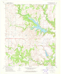
1973 Map of Bluestem Lake
USGS Topo · Published 1975About this map
The Osage Indian Reservation landscape in the early 1970s is defined by its extensive water management and industrial infrastructure. Bluestem Lake dominates the central terrain, formed by the impoundment of Middle Bird Creek, while Pawhuska Lake sits further south, fed by Higgins Creek. The region's economic history is visible through the Oil Field and numerous scattered Oil Wells, particularly in the northern reaches. This industrial character is further reflected by the several Quarries and a Pumping Station located near the southern waterway. Transportation history is marked by an Old Railroad Grade that winds through the valley of Clear Creek, offering a glimpse into the earlier logistical network of the county. In the center of the sheet, the Pawhuska Municipal Airport serves as a modern waypoint above the rugged drainages of Maher Creek and the deep relief of Cedar Canyon.
Find a feature on this map
19 named features on this map. Tap any name to fly to it.
Don’t see what you’re looking for? This feature index may not catch every label — zoom into the map to look around manually.
Map Details
Editions of this 1973 Bluestem Lake Map
2 editions found
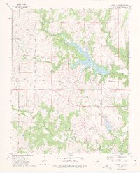
Other maps of this area

1909 · Pawhuska
USGS Topo · 1:125,000

1910 · Pawhuska
USGS Topo · 1:125,000

1916 · Foraker
USGS Topo · 1:62,500

1932 · Fairfax
USGS Topo · 1:62,500

1955 · Enid
USGS Topo · 1:250,000

1958 · Enid
USGS Topo · 1:250,000

1960 · Nanos
USGS Topo · 1:24,000

1960 · Pawhuska
USGS Topo · 1:24,000
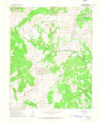
1964 · Wynona
USGS Topo · 1:24,000
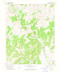
1973 · Happy Hollow
USGS Topo · 1:24,000