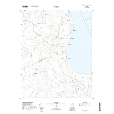
2019 Map of Bacons Castle
USGS Topo · Published 2019About this map
Bacons Castle and the surrounding Tidewater landscape define this coastal reach of the James River. The terrain is characterized by a complex network of wetlands and tidal inlets, including the Tucker Pocosin and Belle Meadow Pocosin, which contrast with the established settlements of Poolesville, Rushmere, and Moonlight. Historical family and community sites are well-preserved in the record, with several burial grounds such as Hickory Grove Memorial Cem and Lower Surry Cem situated near the county line between Surry County and Isle of Wight County.
Find a feature on this map
95 named features on this map. Tap any name to fly to it.
Don’t see what you’re looking for? This feature index may not catch every label — zoom into the map to look around manually.
Map Details
Editions of this 2019 Bacons Castle Map
This is the sole edition of this map. No revisions or reprints were ever made.
Other maps of this area

1907 · Yorktown
USGS Topo · 1:62,500

1919 · Smithfield
USGS Topo · 1:62,500

1919 · Surry
USGS Topo · 1:62,500

1920 · Ivor
USGS Topo · 1:62,500

1943 · Yorktown
USGS Topo · 1:62,500

1943 · Richmond
USGS Topo · 1:250,000

1944 · Yorktown
USGS Topo · 1:24,000

1944 · Smithfield
USGS Topo · 1:24,000

1944 · Raynor
USGS Topo · 1:24,000
1945 · Raynor
USGS Topo · 1:31,680