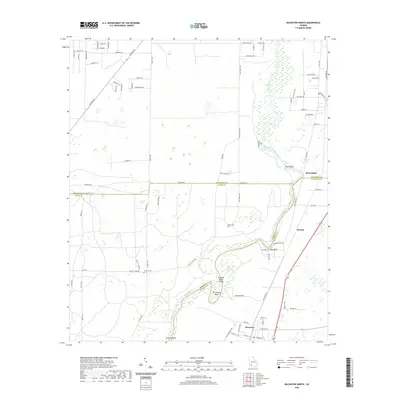
2020 Map of Baconton North
USGS Topo · Published 2020About this map
The Flint River defines the landscape as it winds south through the borderlands of Dougherty, Baker, and Mitchell counties. This reach of the river is characterized by several distinctive water features and islands, including Wilson Blue Spring, Blue Hole Spring, and Buzzard Roost Island. The settlement pattern is concentrated along the river corridor and the transit lines running parallel to it, notably through the communities of DeWitt and Baconton. Local history is preserved in several rural burial grounds such as Hard Up Cem and Blue Springs Cem, which sit among a network of agricultural roads and pecan groves. Notable river landmarks like Horseshoe Bend and Cowan Shoals illustrate the waterway's complex geography before it continues its course toward the Gulf. The map provides a clear view of the rural infrastructure connecting small Georgia settlements at the start of the 2020s.
Find a feature on this map
57 named features on this map. Tap any name to fly to it.
Don’t see what you’re looking for? This feature index may not catch every label — zoom into the map to look around manually.
Map Details
Editions of this 2020 Baconton North Map
This is the sole edition of this map. No revisions or reprints were ever made.
Other maps of this area

1953 · Dothan
USGS Topo · 1:250,000

1954 · Dothan
USGS Topo · 1:250,000

1955 · Dothan
USGS Topo · 1:250,000

1956 · Albany East
USGS Topo · 1:24,000

1956 · Albany West
USGS Topo · 1:24,000

1956 · Baconton
USGS Topo · 1:62,500

1956 · Newton
USGS Topo · 1:62,500

1956 · Sasser
USGS Topo · 1:62,500

1956 · Albany
USGS Topo · 1:62,500

1973 · Pretoria
USGS Topo · 1:24,000