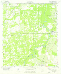
1974 Map of Baconton North
USGS Topo · Published 1976About this map
The Flint River carves a winding path through this agricultural landscape of southwestern Georgia, defining the borders between Dougherty, Baker, and Mitchell Counties. Along its banks, the river features distinct landmarks like Horseshoe Bend, Goat Island, and Red Bluff, while numerous groundwater sources such as Blue Hole Spring, Berry Spring, and Miller Springs indicate the region's unique hydrology. The eastern corridor is dominated by the Seaboard Coast Line railroad, which anchors the settlements of Putney, DeWitt, and Baconton.
Find a feature on this map
42 named features on this map. Tap any name to fly to it.
Don’t see what you’re looking for? This feature index may not catch every label — zoom into the map to look around manually.
Map Details
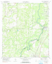
Editions of this 1974 Baconton North Map
2 editions found
Other maps of this area

1953 · Dothan
USGS Topo · 1:250,000

1954 · Dothan
USGS Topo · 1:250,000

1955 · Dothan
USGS Topo · 1:250,000

1956 · Albany East
USGS Topo · 1:24,000

1956 · Albany West
USGS Topo · 1:24,000

1956 · Baconton
USGS Topo · 1:62,500

1956 · Newton
USGS Topo · 1:62,500

1956 · Sasser
USGS Topo · 1:62,500

1956 · Albany
USGS Topo · 1:62,500

1973 · Pretoria
USGS Topo · 1:24,000