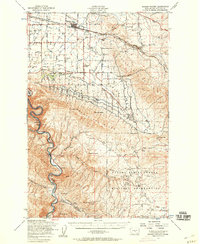
1953 Map of Badger Pocket
USGS Topo · Published 1958About this map
Kittitas Valley agriculture and transit define this mid-century landscape, where the Town Canal and Cascade Canal networks sustain local farms. The northern reaches are anchored by the rail town of Kittitas, featuring the Kittitas HS and the nearby Cameron Airfield. This area shows a transition from the structured irrigation of the valley floor to the high, arid terrain of Manastash Ridge and the Yakima Firing Center Military Reservation, which occupies the southeastern quadrant with numerous Silica Mines and strip mining operations.
Find a feature on this map
52 named features on this map. Tap any name to fly to it.
Don’t see what you’re looking for? This feature index may not catch every label — zoom into the map to look around manually.
Map Details
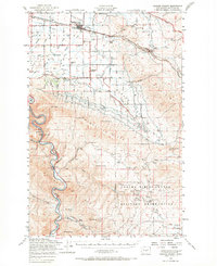
Editions of this 1953 Badger Pocket Map
2 editions found
Other maps of this area

1897 · Mount Stuart
USGS Topo · 1:125,000

1899 · Ellensburg
USGS Topo · 1:125,000

1901 · Ellensburg
USGS Topo · 1:125,000

1902 · Mount Stuart
USGS Topo · 1:125,000

1920 · Colockum Pass
USGS Topo · 1:125,000

1922 · Colockum Pass
USGS Topo · 1:125,000

1936 · Yakima East
USGS Topo · 1:48,000

1936 · Hog Ranch Buttes
USGS Topo · 1:48,000

1938 · Badger Pocket
USGS Topo · 1:48,000

1939 · Boylston
USGS Topo · 1:48,000