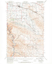
1953 Map of Badger Pocket
USGS Topo · Published 1969About this map
Agricultural development in the Kittitas Valley meets the high desert plateaus in this survey compiled from 1950s data. The northern portion of the map is defined by a dense network of irrigation infrastructure, including the Town Canal, Cascade Canal, and the Wipple Wasteway, which transformed the land around Kittitas and East Kittitas. Local community life is anchored by landmarks such as Kittitas HS, Denmark School, and Denmark Hall.
Find a feature on this map
52 named features on this map. Tap any name to fly to it.
Don’t see what you’re looking for? This feature index may not catch every label — zoom into the map to look around manually.
Map Details
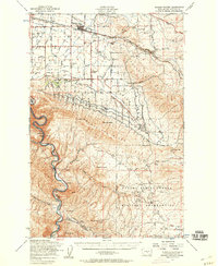
Editions of this 1953 Badger Pocket Map
2 editions found
Other maps of this area

1897 · Mount Stuart
USGS Topo · 1:125,000

1899 · Ellensburg
USGS Topo · 1:125,000

1901 · Ellensburg
USGS Topo · 1:125,000

1902 · Mount Stuart
USGS Topo · 1:125,000

1920 · Colockum Pass
USGS Topo · 1:125,000

1922 · Colockum Pass
USGS Topo · 1:125,000

1936 · Yakima East
USGS Topo · 1:48,000

1936 · Hog Ranch Buttes
USGS Topo · 1:48,000

1938 · Badger Pocket
USGS Topo · 1:48,000

1939 · Boylston
USGS Topo · 1:48,000