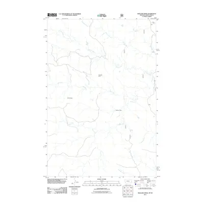
2011 Map of Badland Draw
USGS Topo · Published 2011About this map
Haystack Butte and the surrounding high ground of Windy Ridge define this landscape in eastern Fallon County. The area is characterized by an intricate network of drainages including Cottonwood Creek, Johny Creek, and Cannonball Creek that carve through the local topography. This 2011 survey illustrates a sparsely populated ranching or rangeland environment where infrastructure is limited to secondary routes like Old 16 Rd. The naming of Badland Draw and Dugout Creek suggests the difficult nature of the terrain and early settlement practices in this portion of the Montana-North Dakota borderlands. Water sources are primarily seasonal or intermittent, with North Butte Creek and South Butte Creek flowing toward the southern reaches of the quadrangle.
Find a feature on this map
11 named features on this map. Tap any name to fly to it.
Don’t see what you’re looking for? This feature index may not catch every label — zoom into the map to look around manually.
Map Details
Editions of this 2011 Badland Draw Map
This is the sole edition of this map. No revisions or reprints were ever made.
Other maps of this area

1953 · Miles City
USGS Topo · 1:250,000

1953 · Dickinson
USGS Topo · 1:250,000

1957 · Dickinson
USGS Topo · 1:250,000

1957 · Miles City
USGS Topo · 1:250,000

1958 · Miles City
USGS Topo · 1:250,000

1980 · Pretty Butte
USGS Topo · 1:24,000

1980 · Marmarth
USGS Topo · 1:24,000

1980 · Belfield
USGS Topo · 1:100,000

1981 · Baker
USGS Topo · 1:100,000

1981 · Buffalo Reservoir
USGS Topo · 1:24,000