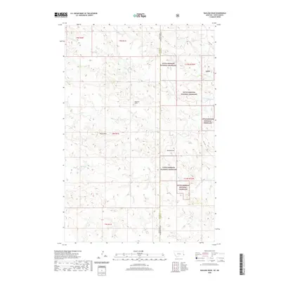
2020 Map of Badland Draw
USGS Topo · Published 2020About this map
Little Missouri National Grassland dominates the landscape in this borderland where Montana meets North Dakota. The terrain is defined by complex drainage systems and prominent landmarks like Haystack Butte and the elevated reach of Windy Ridge. These natural features, alongside the namesake Badland Draw, shaped the grazing and transit patterns of the region. Local hydrology is detailed through numerous seasonal watercourses, including Cannonball Cr, Johny Cr, and Dugout Cr, which carve through the high plains. The transition between Fallon and Slope counties is clearly demarcated, showing the intersection of state lines and public land management. Human infrastructure is sparse, characterized primarily by historical routes such as Old 16 Rd, reflecting the low-density settlement pattern typical of the eastern Montana grasslands during the modern era.
Find a feature on this map
21 named features on this map. Tap any name to fly to it.
Don’t see what you’re looking for? This feature index may not catch every label — zoom into the map to look around manually.
Map Details
Editions of this 2020 Badland Draw Map
This is the sole edition of this map. No revisions or reprints were ever made.
Other maps of this area

1953 · Miles City
USGS Topo · 1:250,000

1953 · Dickinson
USGS Topo · 1:250,000

1957 · Dickinson
USGS Topo · 1:250,000

1957 · Miles City
USGS Topo · 1:250,000

1958 · Miles City
USGS Topo · 1:250,000

1980 · Pretty Butte
USGS Topo · 1:24,000

1980 · Marmarth
USGS Topo · 1:24,000

1980 · Belfield
USGS Topo · 1:100,000

1981 · Baker
USGS Topo · 1:100,000

1981 · Buffalo Reservoir
USGS Topo · 1:24,000