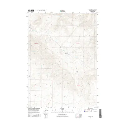
2015 Map of Badwater
USGS Topo · Published 2015About this map
Badwater sits at the center of this remote high-plains landscape, where the confluence of several intermittent drainages dictates the layout of the land. The topography is dominated by the prominent Cedar Ridge and the nearby Cedar Gap, which provide relief above the desert floor. Water management is a primary theme of the area, evidenced by the Alva Reservoir and a complex network of creeks including Badwater Cr and its tributaries, such as Dry Fork Badwater Cr and S Fork Badwater Cr. Further south, the landscape shifts toward the sandy drainages of Sand Cr and Stark Sand Cr, culminating at Sand Draw. The sparse road network, including Badwater Rd and Lost Cabin Rd, follows the natural contours and watercourses of this central Wyoming territory.
Find a feature on this map
20 named features on this map. Tap any name to fly to it.
Don’t see what you’re looking for? This feature index may not catch every label — zoom into the map to look around manually.
Map Details
Editions of this 2015 Badwater Map
This is the sole edition of this map. No revisions or reprints were ever made.
Other maps of this area

1952 · Cottonwood Pass
USGS Topo · 1:24,000

1952 · Badwater
USGS Topo · 1:24,000

1952 · Arminto
USGS Topo · 1:24,000

1952 · Madden
USGS Topo · 1:24,000

1952 · Arminto NW
USGS Topo · 1:24,000

1952 · Lysite SE
USGS Topo · 1:24,000

1952 · Sioux Pass
USGS Topo · 1:24,000

1952 · Badwater NE
USGS Topo · 1:24,000

1952 · Badwater SE
USGS Topo · 1:24,000

1955 · Arminto
USGS Topo · 1:250,000