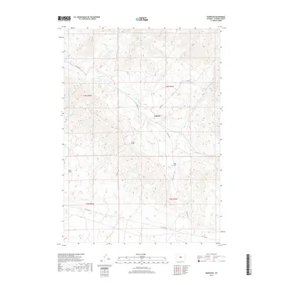
2017 Map of Badwater
USGS Topo · Published 2017About this map
Badwater sits at the center of this drainage network where the Badwater Cr meets its numerous tributaries. The landscape is defined by the high ground of Cedar Ridge and the prominent Cedar Gap, which serves as a natural corridor for local travel. A network of unimproved routes, including Cedar Gap Rd and Lost Cabin Rd, connects this remote area of Natrona County, following the natural contours of the terrain. The hydrological pattern is particularly intricate, with Frenchie Cr, Clear Cr, and the S Fork Badwater Cr feeding into the main valley. These seasonal watercourses and the presence of features like Sand Draw illustrate the erosive forces that have shaped the central Wyoming basin. The map preserves the specific cattle-trail and ranch-road heritage of the region through labels such as Oakie Trl and Mesa Rd.
Find a feature on this map
19 named features on this map. Tap any name to fly to it.
Don’t see what you’re looking for? This feature index may not catch every label — zoom into the map to look around manually.
Map Details
Editions of this 2017 Badwater Map
This is the sole edition of this map. No revisions or reprints were ever made.
Other maps of this area

1952 · Cottonwood Pass
USGS Topo · 1:24,000

1952 · Badwater
USGS Topo · 1:24,000

1952 · Arminto
USGS Topo · 1:24,000

1952 · Madden
USGS Topo · 1:24,000

1952 · Arminto NW
USGS Topo · 1:24,000

1952 · Lysite SE
USGS Topo · 1:24,000

1952 · Sioux Pass
USGS Topo · 1:24,000

1952 · Badwater NE
USGS Topo · 1:24,000

1952 · Badwater SE
USGS Topo · 1:24,000

1955 · Arminto
USGS Topo · 1:250,000