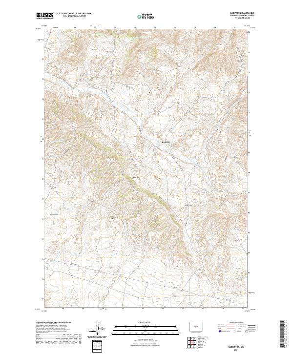
2021 Map of Badwater
USGS Topo · Published 2021About this map
Badwater sits at the heart of this high-plains landscape in Natrona County, where the drainage networks of Badwater Cr and its various tributaries define the movement across the terrain. The topography is shaped by prominent landforms like Cedar Ridge and Cedar Gap, which likely served as natural waypoints for early travelers and livestock drivers moving through this portion of central Wyoming. The map reveals a sophisticated network of seasonal watercourses, including Frenchie Cr and Dry Fork Badwater Cr, illustrating how water management and natural drainage dictated the settlement patterns in this semi-arid region. Remote access is provided by several named routes such as Oakie Trl and Lost Cabin Rd, which connect the scattered points of interest across the township and range boundaries. The presence of features like Sand Draw further emphasizes the erosional character of the area, providing critical detail for those studying the physical history of the Wyoming basin.
Find a feature on this map
19 named features on this map. Tap any name to fly to it.
Don’t see what you’re looking for? This feature index may not catch every label — zoom into the map to look around manually.
Map Details
Editions of this 2021 Badwater Map
This is the sole edition of this map. No revisions or reprints were ever made.
Other maps of this area

1952 · Cottonwood Pass
USGS Topo · 1:24,000

1952 · Badwater
USGS Topo · 1:24,000

1952 · Arminto
USGS Topo · 1:24,000

1952 · Madden
USGS Topo · 1:24,000

1952 · Arminto NW
USGS Topo · 1:24,000

1952 · Lysite SE
USGS Topo · 1:24,000

1952 · Sioux Pass
USGS Topo · 1:24,000

1952 · Badwater NE
USGS Topo · 1:24,000

1952 · Badwater SE
USGS Topo · 1:24,000

1955 · Arminto
USGS Topo · 1:250,000