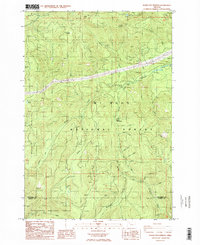
1985 Map of Bagby Hot Springs
USGS Topo · Published 1986About this map
Bagby Hot Springs serves as the focal point for this mid-1980s provisional study, located along the Hot Springs Fork deep within the Mt Hood National Forest. The map documents the intricate hydrology and terrain of the Clackamas and Marion county border, where the Collawash River and numerous tributaries like Pansy Creek and Thunder Creek carve through the landscape. The presence of Bagby Hot Springs Campground and Pegleg Falls indicates the area's role as a recreational destination even during this period of geological assessment. High-elevation landmarks such as Baty Butte and Thunder Mountain dominate the topography, while a network of 4WD tracks and a trans line reveal the industrial and utility access required to maintain this portion of the Cascades. To the south, the boundary with Willamette National Forest is marked near Whetstone and the headwaters of Gold Creek.
Find a feature on this map
37 named features on this map. Tap any name to fly to it.
Don’t see what you’re looking for? This feature index may not catch every label — zoom into the map to look around manually.
Map Details
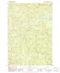
Editions of this 1985 Bagby Hot Springs Map
2 editions found
Other maps of this area

1916 · Estacada
USGS Topo · 1:125,000

1929 · Mill City
USGS Topo · 1:125,000

1948 · Vancouver
USGS Topo · 1:250,000

1950 · Vancouver
USGS Topo · 1:250,000

1950 · Vancouver
USGS Topo · 1:250,000

1953 · Salem
USGS Topo · 1:250,000

1954 · Salem
USGS Topo · 1:250,000

1955 · Colton
USGS Topo · 1:62,500

1955 · Mill City
USGS Topo · 1:62,500

1956 · Fish Creek Mtn
USGS Topo · 1:62,500