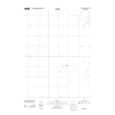
2013 Map of Bagley NW
USGS Topo · Published 2013About this map
Green Brier serves as the quiet focal point of this rural Greene County landscape, situated amidst an orderly grid of agricultural roads in America's heartland. The terrain is defined by the winding course of Greenbrier Cr, which meanders across the central and southern portions of the quadrangle before moving toward the northeastern corner. In that corner, the N Raccoon River cuts a prominent path, joined by local tributaries like Dead Brier Cr. The infrastructure is characterized by a precise system of section-line roads, including Meade Ave and Park Ave S, reflecting the enduring impact of the Public Land Survey System on Iowa's development. This 2013 survey illustrates the sustained agricultural character of the region, where the natural drainage patterns of the river valley continue to dictate the layout of fields and local passages.
Find a feature on this map
26 named features on this map. Tap any name to fly to it.
Don’t see what you’re looking for? This feature index may not catch every label — zoom into the map to look around manually.
Map Details
Editions of this 2013 Bagley NW Map
This is the sole edition of this map. No revisions or reprints were ever made.
Other maps of this area

1954 · Bagley
USGS Topo · 1:62,500

1954 · Omaha
USGS Topo · 1:250,000

1954 · Fort Dodge
USGS Topo · 1:250,000

1957 · Omaha
USGS Topo · 1:250,000

1957 · Fort Dodge
USGS Topo · 1:250,000

1958 · Omaha
USGS Topo · 1:250,000

1958 · Fort Dodge
USGS Topo · 1:250,000

1962 · Jefferson
USGS Topo · 1:62,500

1971 · Coon Rapids NE
USGS Topo · 1:24,000

1971 · Bayard
USGS Topo · 1:24,000