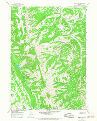
1965 Map of Bailey Lake
USGS Topo · Published 1968About this map
Grayback Ridge dominates this mid-century survey of the high mountain divide between the Bridger National Forest and Teton National Forest. This remote landscape, field-checked in the mid-1960s, is defined by its drainages and early trails rather than roads, showing a wilderness area as it functioned before modern development. Notable water features include the isolated Bailey Lake and Waterdog Lake, while the presence of Rimrock Ranch and the small settlement at Adams suggests the thin margin of human habitation in this steep terrain. An extensive Pack Trail system provides the primary means of navigation through the valleys of Lick Creek, Alder Creek, and Willow Creek. The map documents a specific moment in Wyoming land management, capturing an Indefinite Boundary and the convergence of county lines at high-altitude landmarks like Pow Wow Point.
Find a feature on this map
25 named features on this map. Tap any name to fly to it.
Don’t see what you’re looking for? This feature index may not catch every label — zoom into the map to look around manually.
Map Details
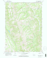
Editions of this 1965 Bailey Lake Map
2 editions found
Other maps of this area

1931 · Jackson
USGS Topo · 1:125,000

1935 · Jackson
USGS Topo · 1:125,000

1955 · Driggs
USGS Topo · 1:250,000

1958 · Driggs
USGS Topo · 1:250,000

1962 · Driggs
USGS Topo · 1:250,000

1963 · Munger Mountain
USGS Topo · 1:24,000

1965 · Pickle Pass
USGS Topo · 1:24,000

1965 · Camp Davis
USGS Topo · 1:24,000
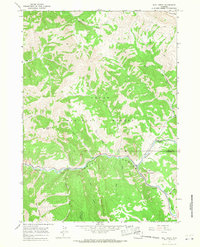
1965 · Bull Creek
USGS Topo · 1:24,000
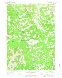
1965 · Deer Creek
USGS Topo · 1:24,000