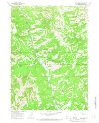
1965 Map of Deer Creek
USGS Topo · Published 1968About this map
Bridger National Forest dominates this mid-1960s landscape, where the Greys River carves a deep valley between high ridges. The map reveals a remote mountainous terrain managed for both recreation and forestry, evidenced by sites like the Deer Creek Guard Station and established campsites such as Lynx Creek Campground and Murphy Creek Campground. The drainage system is remarkably intricate, with numerous tributaries including Weiner Creek, Dead Dog Creek, and Porcupine Creek feeding into the main river channel. High-altitude features like the Star Peaks and Lost Lake define the western boundary, while the Stewart Trail and various pack trails suggest a landscape primarily accessible by foot or horseback during this era. The concentration of named lakes, such as the Murphy Lakes, and the convergence of the Little Greys River indicate a well-watered wilderness area critical to regional geography.
Find a feature on this map
32 named features on this map. Tap any name to fly to it.
Don’t see what you’re looking for? This feature index may not catch every label — zoom into the map to look around manually.
Map Details
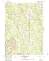
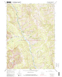
Editions of this 1965 Deer Creek Map
3 editions found
Other maps of this area

1921 · Afton
USGS Topo · 1:125,000

1931 · Jackson
USGS Topo · 1:125,000

1935 · Jackson
USGS Topo · 1:125,000

1955 · Driggs
USGS Topo · 1:250,000

1955 · Preston
USGS Topo · 1:250,000

1958 · Driggs
USGS Topo · 1:250,000

1958 · Preston
USGS Topo · 1:250,000

1962 · Driggs
USGS Topo · 1:250,000

1962 · Preston
USGS Topo · 1:250,000

1963 · Ferry Peak
USGS Topo · 1:24,000