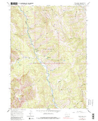
1965 Map of Deer Creek
USGS Topo · Published 1984About this map
Greys River carves a deep valley through the heart of the Bridger National Forest in this mid-1960s survey of Lincoln County. The map documents a landscape defined by its river-and-trail connectivity, with the Deer Creek Guard Station serving as a central point for forest management and backcountry access. Early recreational infrastructure is established at the Murphy Creek Campground and Lynx Creek Campground, while a primitive footbridge crosses the river to the west. High-elevation features like Greys Lake and Stump Lake are connected by a network of paths, including the Stewart Trail and various unnamed pack trails that follow the ridgelines. The drainage patterns of Middle Creek and Fawn Creek illustrate the complex topography of Middle Ridge and the Grizzly Basin, providing a precise record of the terrain before later modern developments or access changes.
Find a feature on this map
42 named features on this map. Tap any name to fly to it.
Don’t see what you’re looking for? This feature index may not catch every label — zoom into the map to look around manually.
Map Details
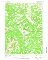
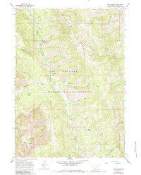
Editions of this 1965 Deer Creek Map
3 editions found
Other maps of this area

1921 · Afton
USGS Topo · 1:125,000

1931 · Jackson
USGS Topo · 1:125,000

1935 · Jackson
USGS Topo · 1:125,000

1955 · Driggs
USGS Topo · 1:250,000

1955 · Preston
USGS Topo · 1:250,000

1958 · Driggs
USGS Topo · 1:250,000

1958 · Preston
USGS Topo · 1:250,000

1962 · Driggs
USGS Topo · 1:250,000

1962 · Preston
USGS Topo · 1:250,000

1963 · Ferry Peak
USGS Topo · 1:24,000