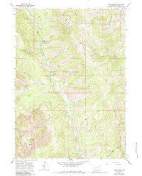
1965 Map of Deer Creek
USGS Topo · Published 1984About this map
Greys River flows northward through the heart of the Bridger National Forest in this mid-1960s survey of Lincoln County. The map details a landscape defined by water and high-elevation terrain, from the Middle Ridge to the prominent Star Peaks. Human presence is concentrated along the river corridor, where the Deer Creek Guard Station, Lynx Creek Campground, and Murphy Creek Campground served as vital outposts for forest management and backcountry access. This survey preserves the exact network of administrative and recreational sites before later developments, showing the remote character of the Wyoming wilderness. Tributaries like Hot Foot Creek and Dead Dog Creek feed the main river, while isolated high-country features such as Stump Lake and Murphy Lakes offer specific landmarks for those tracing the history of the Salt River Range.
Find a feature on this map
31 named features on this map. Tap any name to fly to it.
Don’t see what you’re looking for? This feature index may not catch every label — zoom into the map to look around manually.
Map Details
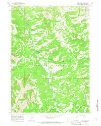
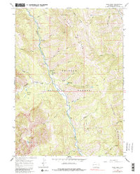
Editions of this 1965 Deer Creek Map
3 editions found
Other maps of this area

1921 · Afton
USGS Topo · 1:125,000

1931 · Jackson
USGS Topo · 1:125,000

1935 · Jackson
USGS Topo · 1:125,000

1955 · Driggs
USGS Topo · 1:250,000

1955 · Preston
USGS Topo · 1:250,000

1958 · Driggs
USGS Topo · 1:250,000

1958 · Preston
USGS Topo · 1:250,000

1962 · Driggs
USGS Topo · 1:250,000

1962 · Preston
USGS Topo · 1:250,000

1963 · Ferry Peak
USGS Topo · 1:24,000