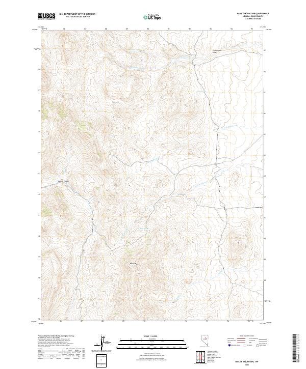
2021 Map of Bailey Mountain
USGS Topo · Published 2021About this map
Bailey Mountain dominates this portion of Elko County, anchoring a landscape defined by an intricate network of drainages and seasonal water sources. The terrain is marked by significant topographical relief, where Copper Canyon and Cottonwood Draw cut through the high country. Water is a critical element of this high-desert environment, evidenced by the presence of Toole Springs and Twin Springs, which likely served as vital landmarks for early ranchers and travelers in the region. The map details the headwaters and tributaries of several stream systems, including Robinson Creek and its southern fork, as well as Indian Creek and Pony Creek. This 2021 survey utilizes data from the U.S. Census Bureau and the Bureau of Land Management to document the modern boundaries and road classifications that overlay this remote Nevada landscape.
Find a feature on this map
18 named features on this map. Tap any name to fly to it.
Don’t see what you’re looking for? This feature index may not catch every label — zoom into the map to look around manually.
Map Details
Editions of this 2021 Bailey Mountain Map
This is the sole edition of this map. No revisions or reprints were ever made.
Other maps of this area

1934 · Jiggs
USGS Topo · 1:125,000

1937 · Mineral Hill
USGS Topo · 1:48,000

1937 · Jiggs
USGS Topo · 1:125,000

1943 · Mineral Hill
USGS Topo · 1:62,500

1952 · Pine Valley
USGS Topo · 1:62,500

1955 · Winnemucca
USGS Topo · 1:250,000

1955 · Elko
USGS Topo · 1:250,000

1956 · Robinson Mtn
USGS Topo · 1:62,500

1958 · Winnemucca
USGS Topo · 1:250,000

1958 · Elko
USGS Topo · 1:250,000