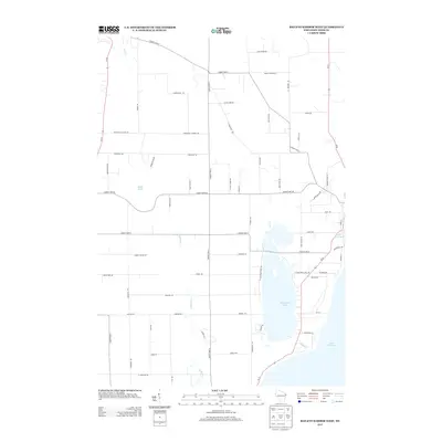
2013 Map of Baileys Harbor West
USGS Topo · Published 2013About this map
Kangaroo Lake dominates the eastern landscape of this Door County peninsula study, situated just inland from the vast coast of Lake Michigan. The map illustrates a developed rural grid where long-established routes like Juddville Rd and Peninsula Players Rd intersect with the primary corridors of Wi-42 and Wi-57. These roads navigate a landscape defined by seasonal watercourses and pocketed wetlands, including Thorp Pond and the headwaters of Fish Cr.
Find a feature on this map
64 named features on this map. Tap any name to fly to it.
Don’t see what you’re looking for? This feature index may not catch every label — zoom into the map to look around manually.
Map Details
Editions of this 2013 Baileys Harbor West Map
This is the sole edition of this map. No revisions or reprints were ever made.
Other maps of this area

1954 · Escanaba
USGS Topo · 1:250,000

1954 · Manitowoc
USGS Topo · 1:250,000

1957 · Escanaba
USGS Topo · 1:250,000

1958 · Escanaba
USGS Topo · 1:250,000

1958 · Manitowoc
USGS Topo · 1:250,000

1960 · Sturgeon Bay
USGS Topo · 1:62,500

1960 · Jacksonport
USGS Topo · 1:62,500

1960 · Sister Bay
USGS Topo · 1:62,500

1961 · Chambers Island
USGS Topo · 1:62,500

1981 · Institute
USGS Topo · 1:24,000