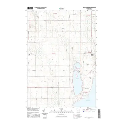
2016 Map of Baileys Harbor West
USGS Topo · Published 2016About this map
Kangaroo Lake serves as a central hydrological feature on this Door County peninsula landscape, buffered by the expansive Baileys Harbor Swamp to the north and the Lake Michigan shoreline to the east. The geography is defined by its coastal orientation, where several small watercourses like Hibbard Cr, Heins Cr, and Fish Cr drain the interior uplands toward the lake. This 2016 survey captures the established road network connecting the primary settlements of Baileys Harbor, Egg Harbor, and Fish Creek.
Find a feature on this map
93 named features on this map. Tap any name to fly to it.
Don’t see what you’re looking for? This feature index may not catch every label — zoom into the map to look around manually.
Map Details
Editions of this 2016 Baileys Harbor West Map
This is the sole edition of this map. No revisions or reprints were ever made.
Other maps of this area

1954 · Escanaba
USGS Topo · 1:250,000

1954 · Manitowoc
USGS Topo · 1:250,000

1957 · Escanaba
USGS Topo · 1:250,000

1958 · Escanaba
USGS Topo · 1:250,000

1958 · Manitowoc
USGS Topo · 1:250,000

1960 · Sturgeon Bay
USGS Topo · 1:62,500

1960 · Jacksonport
USGS Topo · 1:62,500

1960 · Sister Bay
USGS Topo · 1:62,500

1961 · Chambers Island
USGS Topo · 1:62,500

1981 · Institute
USGS Topo · 1:24,000