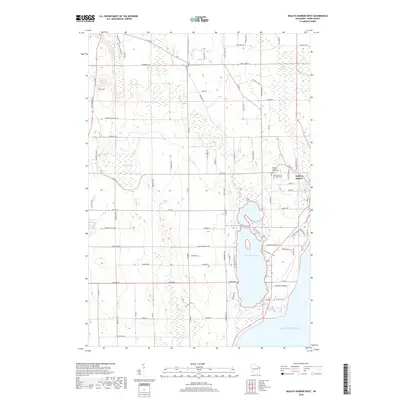
2018 Map of Baileys Harbor West
USGS Topo · Published 2018About this map
Kangaroo Lake and its surrounding wetlands dominate this coastal landscape of Door County, where the terrestrial environment meets the shores of Lake Michigan. The settlement of Baileys Harbor is situated on the eastern edge of the quadrangle, serving as a focal point for the surrounding rural area. Significant local history is preserved at the Baileys Harbor Town Cemetery and Saint Mary's of the Lake Cemetery, providing essential landmarks for genealogical research.
Find a feature on this map
91 named features on this map. Tap any name to fly to it.
Don’t see what you’re looking for? This feature index may not catch every label — zoom into the map to look around manually.
Map Details
Editions of this 2018 Baileys Harbor West Map
This is the sole edition of this map. No revisions or reprints were ever made.
Other maps of this area

1954 · Escanaba
USGS Topo · 1:250,000

1954 · Manitowoc
USGS Topo · 1:250,000

1957 · Escanaba
USGS Topo · 1:250,000

1958 · Escanaba
USGS Topo · 1:250,000

1958 · Manitowoc
USGS Topo · 1:250,000

1960 · Sturgeon Bay
USGS Topo · 1:62,500

1960 · Jacksonport
USGS Topo · 1:62,500

1960 · Sister Bay
USGS Topo · 1:62,500

1961 · Chambers Island
USGS Topo · 1:62,500

1981 · Institute
USGS Topo · 1:24,000