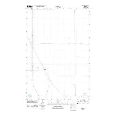
2010 Map of Bain
USGS Topo · Published 2010About this map
Bain sits at a historic transportation junction in Aitkin County, where the north-south highway intersects the diagonal path of the Soo Line Trl. This corridor, originally established by the Minneapolis, St. Paul and Sault Ste. Marie Railroad, defines the local geography and provides a clear lineage of the area's development from a rail-dependent settlement to a modern recreational landscape. To the north and east, the map detail encompasses portions of the Savanna State Frst, a significant area of protected woodland and wetlands.
Find a feature on this map
15 named features on this map. Tap any name to fly to it.
Don’t see what you’re looking for? This feature index may not catch every label — zoom into the map to look around manually.
Map Details
Editions of this 2010 Bain Map
This is the sole edition of this map. No revisions or reprints were ever made.
Other maps of this area

1914 · Aitkin
USGS Topo · 1:62,500

1915 · Aitkin
USGS Topo · 1:62,500

1953 · Duluth
USGS Topo · 1:250,000

1958 · Duluth
USGS Topo · 1:250,000

1970 · Rabey
USGS Topo · 1:24,000

1970 · Palisade
USGS Topo · 1:24,000

1970 · Sanders Lake
USGS Topo · 1:24,000

1970 · Bain
USGS Topo · 1:24,000
1970 · Hill City
USGS Topo · 1:24,000

1970 · White Elk Lake
USGS Topo · 1:24,000