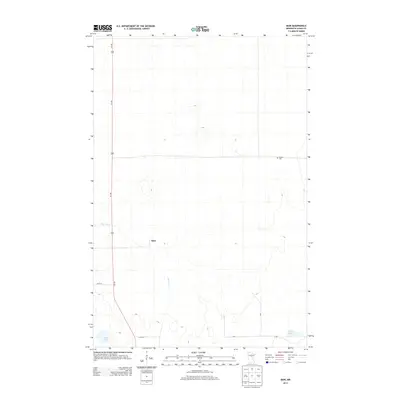
2013 Map of Bain
USGS Topo · Published 2013About this map
Bain is the primary settlement shown on this Aitkin County survey, which documents a landscape of wetlands and northern forests as they appeared in 2013. The area is defined by the winding course of White Elk Cr, which flows through the center of the quadrangle, and the presence of several significant water bodies including Sitas Lake in the southwest and Clear Lake in the southeast. For genealogists and local historians, the Hebron Cem provides a specific point of interest in the eastern portion of the sheet. The transportation network is anchored by the north-south corridor of Us-169, supplemented by local roads like 525th Ln and 510th Ln, which provide access to the rural residential clusters and natural areas characteristic of this part of central Minnesota.
Find a feature on this map
11 named features on this map. Tap any name to fly to it.
Don’t see what you’re looking for? This feature index may not catch every label — zoom into the map to look around manually.
Map Details
Editions of this 2013 Bain Map
This is the sole edition of this map. No revisions or reprints were ever made.
Other maps of this area

1914 · Aitkin
USGS Topo · 1:62,500

1915 · Aitkin
USGS Topo · 1:62,500

1953 · Duluth
USGS Topo · 1:250,000

1958 · Duluth
USGS Topo · 1:250,000

1970 · Rabey
USGS Topo · 1:24,000

1970 · Palisade
USGS Topo · 1:24,000

1970 · Sanders Lake
USGS Topo · 1:24,000

1970 · Bain
USGS Topo · 1:24,000
1970 · Hill City
USGS Topo · 1:24,000

1970 · White Elk Lake
USGS Topo · 1:24,000