
1970 Map of Bain
USGS Topo · Published 1973About this map
The Hill River State Forest dominates this northern Minnesota landscape, where the wetland-rich terrain of Macville, Waukenabo, and Logan townships met in the early 1970s. The small settlement of Bain sits near the confluence of White Elk Creek and the meandering Hill River, serving as a localized point of activity in an otherwise heavily forested and marshy region.
Find a feature on this map
14 named features on this map. Tap any name to fly to it.
Don’t see what you’re looking for? This feature index may not catch every label — zoom into the map to look around manually.
Map Details
Editions of this 1970 Bain Map
This is the sole edition of this map. No revisions or reprints were ever made.
Other maps of this area

1914 · Aitkin
USGS Topo · 1:62,500

1915 · Aitkin
USGS Topo · 1:62,500

1953 · Duluth
USGS Topo · 1:250,000

1958 · Duluth
USGS Topo · 1:250,000

1970 · Rabey
USGS Topo · 1:24,000

1970 · Palisade
USGS Topo · 1:24,000

1970 · Sanders Lake
USGS Topo · 1:24,000
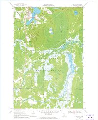
1970 · Hill City
USGS Topo · 1:24,000

1970 · White Elk Lake
USGS Topo · 1:24,000
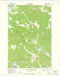
1971 · Swatara
USGS Topo · 1:24,000